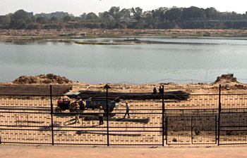
 Sabarmati River Basin is situated in the mid-southern part of Rajasthan, between latitudes 23 degree 25` and 24 degree 55` and longitudes 73 degree 00` and 73 degree 48`. The Sabarmati River originates from the ranges of Arravalli in the Udaipur district of Rajasthan, Western India. The river is about 371 km in length. In its initial course, the river is also called as Wakal. The river empties into the Gulf of Cambay of Arabian Sea. The river traverses a stretch of about 400 Km. To the east of the river lies the Banas and Mahi Basins, to its north the Luni Basin and to its west the West Banas Basin. The southern boundary of the river is the border with Gujarat State. The total area of the Basin is 4,164 km square.
Sabarmati River Basin covers the mid-southern part of Rajasthan. The basin lies between latitudes 23 25` and 24 55` and longitudes 73 00` and 73 48`. The Banas and Mahi Basins lie to the east of Sabarmati basin, while the Luni Basin is in the north and to its west is the West Banas Basin. The southern boundary of the basin is the border with Gujarat State.
The total catchment area of the Basin is documented to be 4,164 km2 according to the 1:250,000 scale topographical maps published by the Survey of India. Sabarmati River Basin extends in the regions of Udaipur, Sirohi, Pali and Dungarpur Districts. The western part of the Basin is surrounded by hilly topography belonging to the Aravali chain. East of the hills lies a narrow alluvial plain with an undulating eastward slope.


