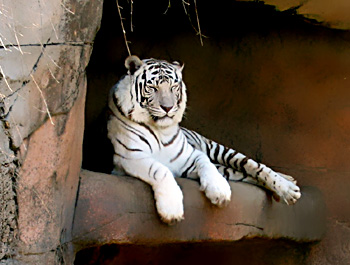
 Rewa district is one of the districts in the state of Madhya Pradesh in India. It is situated between 24 degrees 18 minutes and 25 degree 12 minutes to the North latitudes and 81 degrees 2 minutes and 82 degrees 18 minutes to the East longitudes. The district of Rewa is bounded on the north and east by the state of Uttar Pradesh, in the south by the Sidhi district and in the west with Amarpatan and Raghurajnagar tahsils of Satna district. In shape, the district can be compared to an isosceles triangle, with its base along the Satna border and the two longer arms converging towards Mauganj in the East. This district is also called as the land of great musician Tansen and the land of white tigers.
History of Rewa District
The district of Rewa derives its name from Rewa town, the district headquarters, which is another name for the Narmada River. The district with its present boundary came into existence in the year 1950, after the promulgation of the Provinces and states (Transfer of Enclaves) order 1950. Prior to the month of August 1947, the Rewa district along with the Raghurajnagar tahsil of the erstwhile Rewa state corresponded to the north Rewa district of that state. The territories now included in the district were held by the imperial Maurya dynasty which ruled in the 3rd Century B.C. The district was under the rule of the Kalchurls from the 9th to the end of 12th century. The Baghela king driven eastwards by Ulugh Khan , brother of Emperor Alauddin in the 13th century appeared in this Baghela kings till the abdication of the Crown by the last successor of the dynasty, Martand Singh. After the country became independent, the Rewa ruler acceded to the Union of India. The present Rewa district came into existence in the year 1950.
Geography of Rewa District
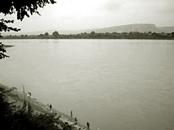
The Rewa district can be divided into the four natural parts; Kymore Pahar, Rewa Plateau, Binjh Pahar and Lower-Northern Plain. The Sirmour, Huzur and Mauganj tahsils lie between Kymore on the south and the Vindhyachal or Binjh Pahar on the north and from what is known as Rewa plateau or uprihar. To the north of the Vindhyachal in the uprihar lies Teonther tahsils whish is different with regard to its physical and other features from the plateau tahsils. The district of Rewa is basically a plateau and from the south to the north its height decreases. In the south, the height of Kymore range is more than 450 meters, whereas the height of alluvial plain of Teonthor is just 100 meters. In the district, dissected hills, plain and plateau, ravines, scarp, water-fall and alluvial plain can be seen. The rain-water of the district is flown out by the two assisting rivers which are the Ganga River, Tons River or Tamas River and the Son River. Most of the rivers in the district initiate from the Kymore ridges which form the watershed for the area.
The total geographical area of the district of Rewa is 6,240.06 square kilometers. The district administration is having the collector as the head of the district. Rewa district has 9 blocks which are Jawa, Sirmour, Hanumana, Naigarhi, Raipur Karchulian, Teonthar, Gangev, Mauganj and Rewa. This district is also famous as the land of white tigers and the land of the great musician Tansen.


