 Raipur District is situated in the fertile plains of Chhattisgarh. This District is situated between 22 degree 33 minutes north to 21 degree 14 minutes north latitude and 82 degree 6 minutes to 81 degree 38 minutes east longitude. Raipur District is surrounded by Bilaspur District in north, Bastar District and part of Orissa in south, Raigarh District and part of Orissa in east and Durg District in west. The district occupies the south eastern part of the upper Mahanadi valley and the bordering hills in the south and the east. Thus, the district is divided into two major physical divisions, namely the Chhattisgarh plain and the Hilly Areas. As per Census 2001, total population of the district is 3,016,930.
History of Raipur District
Raipur District was once a part of southern Kosal and was under the Maurya Kingdom. Further, Raipur city had also been the capital of Haihaya Kings. Kalachuri Kings ruled this part for a long period and made Ratanpur as their capital. Some old inscriptions and archaeological remains in the city refer to the sovereignty of Kalachuri kings. It is said that King Ramachandra of this dynasty founded Raipur city and consequently made it the capital. In 1854, Chhattisgarh was announced a separate commissionery and its headquarters was Raipur. After India`s independence Raipur District was incorporated in central provinces and Berar.
Geography of Raipur District
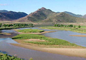
Mahanadi River is the principal river of this district and its tributaries are Sendur, Pairy, Sondur, Joan, Kharun and Shivnath. The fertility of lands of Raipur District can be attributed to the presence of these rivers. Mahanadi originating in the hills of Sihava flows in the direction of east into the Bay of Bengal. Mahanadi crosses the district diagonally from its south western corner to its northern boundaries. The area to the west of the river comprising the north eastern part of Dhamtari District (now separated from Raipur District), the whole of Raipur, Rajim Tehsil and the western part of Baloda Bazar Tehsil is a part of the Chhattisgarh plain, gently sloping, thickly populated and closely cultivated and almost devoid of forests.  The plain also extends in a belt of about 13 to 15 kms east of Mahanadi, except between Sirpur and Kasdol where the hills are much closed. The southern part of Mahanadi plain is about 305 metres above the mean sea level whereas the northern part is about 244 metres above the mean sea level.
Culture of Raipur District
Culture of Raipur District comprises the religious beliefs, traditions, fairs and festivals of the people residing here. The popular music and dance forms of the people of this district of Chhattisgarh are Raut Nacha, Dewar Nacha, Panthi and Soowa, Padki and Pandwani. They are interesting and very attractive. The culture of this district is also reflected by the colourful life of the people. Women here use several vibrant and charming ornaments. The main festivals celebrated in Raipur District are Gouri-Goura, Surti, Hareli, Pola and Teeja festivals. These festivals are celebrated with complete dedication and they reflect togetherness.
Tourism in Raipur District
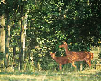
Raipur District has various places of interest that draw the attention of travellers from various parts of the world. At this place, one can have an enriching travelling experience. Barnawapara Sanctuary, Sita Nadi Sanctuary and Udanti Sanctuary are three popular wild life sanctuaries in this district. These sanctuaries offer complete exploring scope to the visitors. Champaran (Champajhar, Sirpur, Turturiya and Rajim are other places in Raipur District that are worth visiting. Some of these tourist attractions also have archaeological relevance.
The administrative set-up of Raipur District includes 15 Tehsils and 15 revenue blocks. There are more than 2219 villages in this district. Moreover, there are several educational institutions and hospitals.


