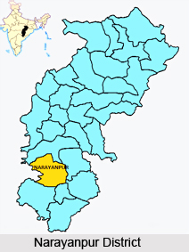
 Narayanpur District is one of the two new districts created on May 11, 2007. It was carved out from the erstwhile Bastar district. Narayanpur town is the administrative headquarters of this district. This district comprises 366 villages. Narayanpur district is one of the 27 districts of Chhattisgarh State in Central India. It is one of the two districts created on May 11, 2007. It was carved out from the erstwhile Bastar district. This district occupies an area of 6640 sq. km and it had a population of 110,800 in 2001. Narayanpur town is the administrative headquarters of this district. This district comprises 366 villages. It is currently a part of the Red Corridor.
Geography of Narayanpur District
Narayanpur District is divided into two administrative blocks. Narayanpur, having 45 Gram Panchayats with 176 villages (172 inhabited), is spread over an area of 2760 km2. Orccha, having 24 Gram Panchayats with 237 villages (209 inhabited), is spread over an area of 3880 km2. Orcha comprises the Abuzhmad region, the un-surveyed zone in central India and home to Primitive Tribal Group Madia Gond and Muriya Gond. Narayanpur receives an average annual rainfall of 1300 mm.
Demography of Narayanpur District
According to the 2011 census Narayanpur district has a population of 140,206, roughly equal to the nation of Saint Lucia. This gives it a ranking of 606th in India (out of a total of 640). The district has a population density of 20 inhabitants per square kilometre (52 /sq mi). Its population growth rate over the decade 2001-2011 was 19.49%. Narayanpur has a sex ratio of 998 females for every 1000 males, and a literacy rate of 49.59%.
This article is a stub. You can enrich by adding more information to it. Send your Write Up to content@indianetzone.com


