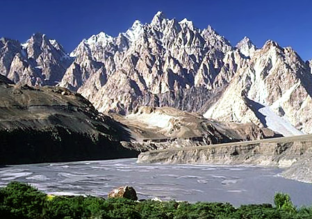
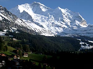
 Mountain climate, also known as highland climate is a geographical term that refers to the kind of climate in the mountains. The climate of the mountain is often contrasted to the climate of the cloudy, lowland area surrounding or lying close to the same mountains. The areas of mountain climate usually have colder winters and milder summers. Due to higher elevation, the temperature of the mountains is by and large lower; the common form of precipitation is snow, often accompanied by stronger winds. At the same time, due to increased insulation, there is more sunlight during the winter in mountain climate. The areas having mountain climate are categorized under Alpine climate, Hemi-boreal climate as well as Semi-arid climates. The Cascade Mountains, the Andes, the Rocky Mountains, Himalaya Mountains, the Eastern Highlands of Africa, the Tibetan Highlands (or Plateau), and the central parts of Borneo and New Guinea are important forms of mountain climates.
The Himalayas and the Karakoram Mountains experience the mountains climate. The main characteristics of the mountain climate include sharp contrasts between the temperatures of shady and sunny slopes, inversion of temperature and variability of rainfall on the basis of the of altitude and exposure, high diurnal range of temperature, etc. the great Himalayas divide the mountainous climatic region into two main sub-regions and these are -
 Trans-Himalayan Belt - As it is situated to the northern side of the Western Himalayas, summer monsoon winds fail to infiltrate into this particular climatic region. The trans-Himalayan belt is cold, arid and basically wind swept. Due to aridity, vegetation in this region is stunted and sparse. Moreover, fuel wood is also scarce in this region. In those regions, where the facility of irrigation is available, barley, apricots, buck wheat and some vegetables are raised. Winters are extremely cold in this region. Rainfall is scanty and most of it is in the form of snow.
Himalayan Belt - The region to the south of the great Himalayan range is basically influenced by summer monsoon and is protected from the cold winds of the interior Asia. In this mountainous climatic region, rainfall is evenly distributed. The well exposed slopes receive more rainfall comparatively. During the winter months, westerly depressions cause moderately heavy snowfall on the Himalayan belt. Precipitation received from these depressions is higher in the Himalayan belt than that received in the Trans-Himalayan belt.
The mountain climate in the Andes is particularly known for the notion of four zones of elevation, namely the Tierra caliente or hot land, Tierra templada or temperate land, Tierra fria or cold land and Tierra helada or frozen land. The mountain climate in India is overall pleasant and favors them to be the hill stations and tourist spots. The cool and refreshing climate in the highlands attract thousands of tourists round the year and get them indulged in various mountaineering activities like skiing, trekking and so on. Extreme physical effort is impossible at higher altitudes having mountain climate.


