 The State of Rajasthan is located in the north-western part of India. It is the largest state by area in the country. This state has temples, Aravalli mountain range, hill station namely, Mount Abu, national parks, wildlife sanctuaries, ruins of the Indus Valley Civilization, forts, palaces, etc. They have not only beautified this state, but also draw a plethora of tourists. Lakes of Rajasthan are no exception in this regard. They also have the potential to catch the attention of tourists visiting this state.
Sambhar Salt Lake
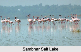
Sambhar Salt Lake is situated about 96 km south west of the city of Jaipur and 64 km north east of Ajmer along National Highway 8. It has the distinction of being India`s largest inland salt lake. It has a catchment area of about 5700 square kilometers. Characteristically, this lake is an extensive saline wetland and is bowl-shaped.
Udaisagar Lake
Udaisagar Lake is located about 13 km east of Udaipur. This lake is known to be constructed in 1565. Maharana Udai Singh is credited with the establishment of this lake. Sewage, domestic wastes and pollutants have threatened this lake. Consequently, National Lake Conservation Program was initiated to restore Udaisagar Lake.
Nakki Lake
 Nakki Lake is situated in Mount Abu in Aravalli Range. This lake is about half a mile in length, a quarter of a mile in breadth and has a maximum depth of about 80 feet. Boating in the lake is a fun filled possibility. Horse riding around the lake is also adventurous.
Ana Sagar Lake
Ana Sagar Lake is located in the city of Ajmer. This artificial lake was established during 1135 -1150 AD and is named after Arnoraja (alias Ana), the grandfather of Prithviraj Chauhan. He is known to be the creator of this lake. This lake has a maximum depth of about 4.4 m and a storage capacity of about 4.75 million cubic meters. This lake is adorned with an island in the center and is reachable by a boat.
Kaylana Lake
Kaylana Lake is located about 8 km west of Jodhpur. This artificial lake was created by Pratap Singh in 1190. It occupies an area of about 84 square kilometers. Kaylana Lake is visited by various migratory birds such as Siberian cranes in the winter season. It functions as a source of drinking water for the people residing in the city of Jodhpur, all the surrounding towns and villages.
Other Lakes of Rajasthan
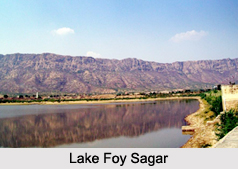
Talwara Lake, Maota Lake, Man Sagar Lake, Balsamand Lake, Fateh Sagar Lake, Lake Foy Sagar are some of the other Lakes of Rajasthan.


