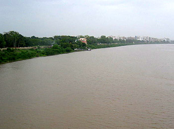
Tapti is a river of western India and the history of this river starts with its origin in the Betul district. It rises in Betul district of Madhya Pradesh and flows between two spurs of the Satpura Hills, across the plateau of Khandesh, and thence through the plain of Surat to the sea. It has a total length of around 724 km. and drains an area of 30,000 sq. m. For the last 32 m. of its course, it is a tidal flow, but is only navigable by vessels of small tonnage; and the port of Swally at its mouth. The history of this river is closely associated with the Anglo Portuguese history. The upper reaches of the river are now deserted, owing to silting at the outflow of the river. The waters of the Tapti are usually not used for irrigation.
 Tapti river is one of the major rivers in India and flows in the central part of India. The river originates from the Betul district of Madhya Pradesh in the Satpura range at an approximate height of about 752 meter above the sea level. The Tapti River flows through the Indian states of Maharashtra, Gujrat and Madhya Pradesh. Apart from the Narmada River, Tapi is the only river, which flows in the westward direction and empties into the Arabian Sea. The Tapi basin extends to the total area of 65, 145 sq km that is approximately 2.0% of the total geographical area of India. The main tributaries of the Tapi River are Purna, The Panjhra, The Vaghur, The Girna, the Bori and the Aner.
The historical importance of Tapti river dates back to the earlier times when Tapti river at Surat was used as the major ports for the purpose of exports of goods and also as an important halt destination for Muslim pilgrimage called Haj to Mecca. The river is also called by the names of Tapati, Tapee, Tapti and Taapi. Tapi river is been supporting the large number of population especially the aboriginal people such as Dhodia, and Bhils who are greatly dependent on it. The soil around the Tapi River is best for agriculture. The rural and tribal population around the Tapi River helps to harvest a large number of chief crops around it and sell it in the market to earn their livelihood. The water of the Tapi River is heavily used for the irrigation reasons. Tapi River is the home to the natural habitats of many wild animals including tigers, lions, snakes sloth bear and many more.


