 Chittor district of Andhra Pradesh lies in the extreme south of the state, approximately between 12`37` - 14`8` north latitudes and 78`3` - 79`55` east longitudes. It is surrounded on the east by Nellore district and Chengai-Anna district of Tamil Nadu, on the north by Anantapur and Cuddapah districts, on the West by the Kolar district of Karnataka State and on the South by North Arcot Ambedkar and Dharmapuri district of Tamil Nadu.
The entire district can be divided into two natural divisions:
1) One half is the mountainous plateau comprising 31 mandals of Madanapalle division
2) The Eastern half comprises the mandals of Puttur, Narayanavanam, Vadamalapeta, Kammapalle, Karvetinagar, Vedurukuppam, S.R.puram, Palasamudram, Nagari, Nindra, Vijayapuram, Pichatur, Nagalapuram, Satyavedu, Varadaiahpalem, B.N.Kandriga, K.V.B.Puram, Thottambedu, Srikalahasti and Yerpedu.
Eight mandals viz., Chittoor, G.D. Nellore, Puthalapattu, Penumuru, Gudipala, Yadamarri, Thavanampalle and Irala, stand almost as dividing line between the two natural divisions of the district.
In the Western region, the Eastern Ghats mountain range rise predominantly. They bend in a gradual slope towards the sacred Sheshchalam hills of Tirupati and pass through the erstwhile taluk of Chandragiri and finally enter the Nellore district. The general elevation of the mountains of the district is 2,500 ft above the sea level.
 The rivers that flow through the region are non-perennial in nature and remain dry for the major part of the year. The important rivers of the district are the Ponnai and the Swarnamukhi. The former is a tributary of the river Palar whereas the latter rises in the Eastern Ghats of the district and finally enters into the Nellore district. The other important rivers of the district are the Kusasthali, the Beema, the Bahuda, the Pincha, the Kalyani, the Araniyar and the Pedderu which flow in different mandals of the district. Besides the above rivers, there are a number of small hilly streams flowing in the district.
Chittoor district has a dry and healthy climate. The upland mandals are comparatively cooler than the eastern mandals except Chittoor where the climate is moderate. The annual rainfall of the district is 934 mms. The district has the benefit of receiving rainfall during both the south-west and north-east monsoon periods and the normal rainfall received during these periods is 438.0 mms and 396.0 mms respectively. The rainfall received from the south-west monsoons is more copious compared to north-east monsoons in the western mandals and in the central part of the district, whereas the rainfall received from north-east monsoons is comparatively copious in the eastern mandals of the district.
The major portion of the district is covered by red soils with portions of alluvial soil in Chittoor and Bangarupalem. The constitution of the soils in the district is: redloamy-57%; red sandy 34% and the remaining 9% is covered by black clay black loamy, black sandy and red clay.
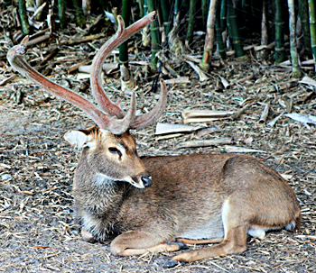
The climate, topography and geology have played an important role impressing the flora of the district. The district has hills and plateau and elevation ranges up to 1,318 metres. The floristic compositions in the forests vary from dry mixed deciduous to thorny scrub with occasional patches of dry, evergreen growth. The forests of this region can be broadly classified into the following three principal types-1) Dry tropical South Indian dry mixed deciduous forests; 2) Southern cutch thorn forest groups, and, 3) Tropical dry evergreen forests. Found in the forests of the district are a number of wild animals like sloth bear, wild dog, wild pig, porcupine, hyena, jungle cat, sambar, chital, black buck etc. A number of species of birds exist in this district such as grey babbler, vultures, partridges, peacock etc.


