 Geography of Chamoli District includes that section of the Himalayan range that is deeply cut by the headwaters of Alaknanda River. The geology of the region of Chamoli District shows that the Himalayas are the young mountains in the world. Further, the geological feature of the district forms two major divisions which lies north and south of an imaginary line extending towards south-east between the villages of Hilang in Joshimath and Loharkhet in the adjoining area of Pithoragarh. The northern division, which is occupied by higher ranges and snow covered peaks entirely consist of medium to high grade metamorphic rocks and is intruded by later volcanic rocks. On the other hand, the division to the south, occupied by ranges of lower altitude, consists essentially of sedimentary and low grade metamorphic rock also intruded by later volcanic rocks. Geologically very little is known of the first division which consists of rocks such as quartzite and marbles. The division to the south of the imaginary line is better known geologically and consists of rocks such as gneisses, limestone, quartzite and slates.
As the elevation of Chamoli District ranges from 800 metres to 8000 metres above see level the climate of the district very largely depend on altitude. The winter season is from about mid November to March. As most of the region is situated on the southern slopes of the outer Himalayas, monsoon currents can enter through the valley, the rainfall being heaviest in the monsoon season from June to September. Most of the rainfall occurs during the period of June to September when 70 percent to 80 percent of the annual precipitation is accounted for in the southern half of the district and 55 to 65 percent in the northern half. The effectiveness of the rains is, among others, related to low temperature. However, the effectiveness is neither uniform nor even positive in areas where either the vegetation cover is poor or has steep slops or the soils have been so denuded that their moisture absorption capacity has become marginal.

The details of temperature recorded at the meteorological observatories in Chamoli District show that the highest temperature recorded here is 34 degree Celsius and lowest being zero. January is the coldest month after which the temperature begins to rise till June or July. Temperature varies with elevation. During the winter season cold waves in the wake of western disturbances may cause temperature to fall appreciably. Snow accumulation in valleys is considerable. The relative humidity is high during monsoon season, generally exceeding 70 percent on the average. The driest part of the year is the pre monsoon period when the humidity level may drop to 35 percent during the afternoon. During the winter months, humidity increases towards the afternoon at certain high stations. Skies are heavily clouded during the monsoon months and for short spells when the region is affected by the passage of western disturbances. During the rest of the year it remains generally clear.
Chamoli District is surrounded by Uttarkashi in north-west, Pithoragarh in south-west, Almora in south east, Rudraprayag in south-west and Tehri Garhwal in west. Total geographical area of the district is around 7520 sq kms. Chamoli District is rich with several mineral resources. The minerals that are mainly found in the district include Asbestos, Soapstone or Steatite, Copper, Iron, Graphite, Gypsum, Lead, Slate, Limestone, Building Stone, Sulphur and Bitumen. Some other minerals found in the district are Antimony, Arsenic, Lignite or Brown Marble, Mica and silver. Physiographically the district, which lies in a region of tectonic or folded and over thrust mountain chains, has strata and is structurally marked by complex folds, reverse faults, over thrusts of great dimensions.
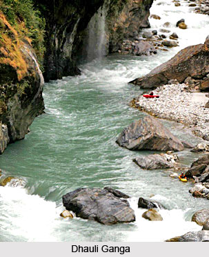
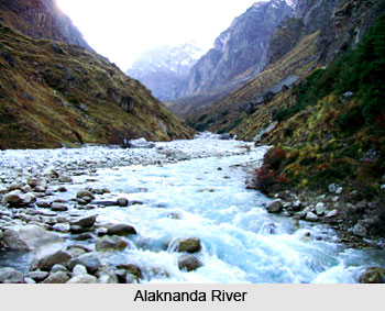
Chamoli District is criss-crossed by several important rivers and their tributaries. Alaknanda River, Saraswati River and Dhauli Ganga are some of the main rivers traversing through the district. The rivers of Chamoli District generally flow with great force in steep and narrow channels often resulting in excessive erosion and collapse of the banks.


