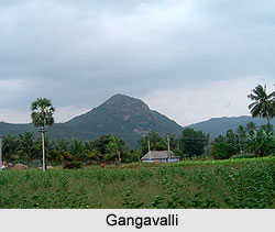
 Gangavalli is a taluka headquarters in the Salem district of the southern state of India, Tamil Nadu. It is located in the southeastern part of Salem district about 57 km. from Salem. It is bounded by Thammampatti and Malliyakarai in the west, Attur in the north, Naduvalur and Viraganur in the east and Arumbavur in the south. The Sweta River, a tributary of the Vellaru, traverses through Gangavalli. The nearest railway station is the Attur Railway Station and the nearest airports are Salem Airport at a distance of 70 km. in the west and Tiruchirapalli Airport at a distance of 80 km. in the south. Gangavalli is located between 11.48° North latitude and 78.65° East longitude at an average elevation of 292 metres (958 feet) above mean sea level. The Western Ganga dynasty ruled this region and it is believed this is how the place got its name.
According to the 2001 India census report, Gangavalli had a population of 10,584 inhabitants. Males and females constitute an equal proportion of the population. In Gangavalli, 11% of the population is less than six years of age. Gangavalli has an average literacy rate of 60% which is slightly higher than the national average literacy rate of 59.5%. The male literacy rate is 68% and the female literacy rate is 51%.
The ancient Attur Fort and Aragalur are located in the vicinity and are easily accessible from this town.


