 Coastal Rivers relate to the rivers in the coastal regions of India. These regions comprise of the Indian states lying close to the Bay of Bengal, Arabian Sea and Indian Ocean. These states are West Bengal, Odisha, Andhra Pradesh, Tamil Nadu, Kerala, Karnataka, Maharashtra, Goa and parts of Gujarat. It is important to note that most of these states lack seasonal rainfall or have parched weather, scanty vegetation and sandy tracts. The coastal rivers which can almost be regarded as streams, especially on the west coast are short in length, episodic, ephemeral and have restricted catchment areas. Most of them are non-perennial. Several coastal rivers are comparatively small making them go almost unidentified. There are as many as 600 rivers on the west coast, while only a handful of coastal rivers drain into the sea near the delta of east cost. Some of the Indian states holding rivers in coastal regions are mentioned below.
West Bengal Coastal Rivers
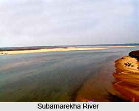
Subarnarekha River is located in West Bengal, Jharkhand and parts of Odisha. It has a length of about 395 km (245 mi). Kangsabati River starts its journey from the Chota Nagpur Plateau in West Bengal. It has a length of about 465.23 km (289 mi).
Andhra Pradesh Coastal Rivers
Vamsadhara River and Nagavali River are the two chief coastal rivers in Srikakulam district. Sharada River commences at Devarapally in Vishakhapatnam district and drains into the Bay of Bengal.
Tamil Nadu Coastal Rivers
 Thamirabarani River starts its journey from Agastyarkoodam Peak of Pothigai Hills of the Western Ghats. It has a length of about 185 km (115 mi). Vaigai River is located in Madurai in Tamil Nadu and starts its journey from Varusanadu Hills. The river has a length of about 258 km (160 mi). Some of the other coastal rivers in Tamil Nadu are Vellar River, Vasishta Nadi and Sweta Nadi.
Karnataka Coastal Rivers
Coastal rivers in Karnataka flow through three coastal districts and unite with the Arabian Sea. These include the Netravati River, Sharavathi River, Aghanashini River and rivers of Dakshina Kannada district and Udupi district. Palar River starts its journey from the Nandi Hills in Kolar district of Karnataka. It has a length of about 216 m (348 km).
Maharashtra Coastal Rivers
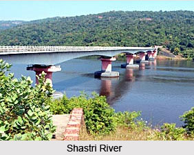
Vashishti River starts its journey from the Western Ghats and has many riverine islands. Savitri River starts its journey from Mahabaleshwar in Maharashtra and traverses through Raigad district. The other Maharashtra coastal rivers are Shastri River, Gad River, Patalganga River, Ulhas River, Mithi River or Mahim River, Oshiwara River, Dahisar River, Tansa River (Thane), Vaitarna River and Surya River.


