The city of Chatra, situated in the state of Jharkhand India is a municipality and headquarters of Chatra district. Chatra has been considered the gateway of Jharkhand particularly to Chota Nagpur Plateau since ancient times .On the north of Chatra is the Gaya and the Hazaribagh districts, on the south is the Palmau and Ranchi district and on the west is the Gaya district. Its history can be traced back to the Magadha period; the modern Chatra was established in 1991 after carving out a portion from Hazaribagh district.
It is located at 24.22° N 84.87° E and has an average elevation of about 427 metres (1400 feet) and covers an area of 3706 square kilometes. Around 60% of the Chatra district is covered by thick forests and it is the home to a variety of flora and fauna.According to the 2001 census ,Chatra has a scattered and scanty population of about 41,990 inhabitants who are largely dependent on agriculture for their subsistence.Males constitute 53% of the population while females constitute 47% .9It has an average literacy rate of 65% which is higher than the average national standard of 59.5% with male literacy of 71% and female literacy of 58%. 17% of the population is under 6 years of age.
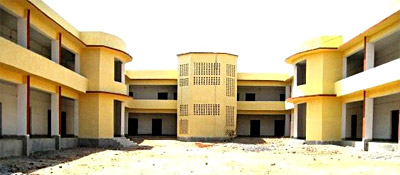 Academically ,Chatra has a medium status . There are two colleges in chatra which are chatra college chatra and Hunterganj College. Nazareth Vidya Niketan high school,Godfray public school,S.S Boys & Girls high school,Navodaya school,Rose Bird School,Anil vidya niketan.D.A.V(under construction) are the main schools in chatra.
The Bhadrakali Temple at Bhaduli, exquisite viewpoint of Kolhua Hills, the echoing Kondua caves and the Kamaleswari Devi pilgrimage sites are popular tourist spots. Besides, these ,several cascading waterfalls like the Bichkiliya and Duari add to the magnetic appeal of Chatra.
