Barhi is a census town situated in the Hazaribagh district in the state of Jharkhand in India. The district headquarters of the Hazaribagh district are located in the town of Hazaribagh. The word Hazaribagh is made up of two Hindi words, hazar and bagh. The word hazar means `one thousand`, and the word bagh means `garden`. So the literal meaning of Hazaribagh becomes `a city of one thousand gardens`. This city is at a distance of 16 km from the national park. The district is widely known for its coal fields.
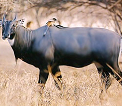 The exact location of the Barhi town is at 24.3° North and 85.42° East. The mean elevation of the town is 374 metres (1227 feet). The Barakar River flows at a distance of two miles from Barhi. The town is located at the crossing of National Highway 2 (Grand Trunk Road) and National Highway 33. All main buses on the Ranchi-Gaya, Ranchi-Patna, Dhanbad-Patna and Dhanbad-Gaya routes travel through Barhi. At a small distance from this town, are located the Tilayia Dam of DVC and the Hazaribagh National Park.
As per the 2001 India census, Barhi has a population of 9933. Males amount to 53% of the population and females make up 47%. The town has a mean literacy rate of 60%, higher than the nationwide standard of 59.5%. 62% of the males and 38% of the females are literate. 18% of the population consists of children less than six years of age.
