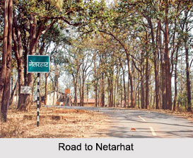
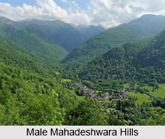
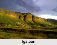
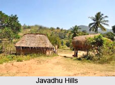
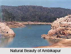
 Ambikapur is a city in the Surguja district of the Indian state of Chhattisgarh. It is the district headquarters of Surguja, one of the oldest districts of Chhattisgarh.
History of Ambikapur
On 15th August 2011, two further districts, Surajpur and Balrampur were created out of Surguja district by the state Chief Minister Dr. Raman Singh, along with eight other new districts. It is also the divisional headquarters of Surguja Division which consists of the five districts of Surguja, Korea district, Balrampur, Surajpur and Jashpur. It was the capital of the Princely state of Surguja before Indian Independence. The name of the city is derived from the goddess Ambika (Mahamaya) Devi, who is the central figure of worship in the area.
Location of Ambikapur
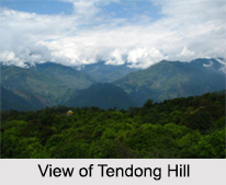
Ambikapur is located at 23 degree 12 minutes north to 83 degree 2 minutes east. It has an average elevation of 623 metres (2078 feet). The district of Surguja is spread over an area of 22,237 km ², and is rich in forests. Most of the terrain of the district is forested and hilly. Natural resources include bauxite, forest products and paddy crops.
Climate of Ambikapur
The rainfall varies between 100-200 cms, mean annual temperature of 26 degree C-to 27 degree C and humidity of 60-80% resulting in monsoon deciduous forests. The tree of such forests shed their leaves during spring and early summer when the storage of water is more acute. Reduction of sub-soil water tables not enough to allow the trees to keep their leaves all the year around. These forests are the most important forests, yielding commercial timber and various other forest products of high value.
Economy of Ambikapur
The land is classified into six categories. About 41.67% of the total area is developed for agriculture, while about 5.70% remains fallow. About 11.44% of the land may be brought under cultivation by improvements in farming techniques and reclamation of marginal areas.
 Ambikapur tehsil has the largest area of land potentially suitable for reclamation. A further 1.27% is barren and uncultivated while 33.09% is in the form of forest and 6.83% is covered by building, roads and other infrastructure. The distribution of cultivated land over entire area varies from 14.5% in Odgi to 74.51% in Ambikapur. This high value is distributed sporadically in three pockets of relatively high density. In the Ambikapur block 74.51% of the total geographical area is cultivated, which falls to a figure of 69% when the Sitapur block is included. This group also includes Batoli block where 67.50% of total geographical area is devoted to agriculture. About 90% of the working population depends on agriculture, in which 50.36% of working population are of cultivated and about 12.77% of the region are agriculture labourer. Agriculture is directly connected with land and water resources. In Surguja District the percentage concentration of cultivated land is maximum in central zone of the district stretching east to west direction. North and south of this, the percentage of concentration decreases, because of several factors, out of them here are two major factors. The uplands and high lands are mostly covered with rocky wastelands, infertile soil, woods and scrubs, sloppy and forested area. Unavailability of water for irrigation over most of area, improper drainage difficulty in digging wells due to rocky basement, undeveloped means of communication, transportation have restricted the extension of cultivated land.
Forests of Ambikapur
About 58% of the area in the district lies under forests. The total geographical area of Ambikapur being 18,188.44 km and the forest occupy 10,849.079 km. The flora of Nazzul and other areas are changing frequently with the human activities and land-use. Climate, soil and biotic factors are the functions of natural vegetation. The three climatic factors which includes rainfall, temperature and their combination along with seasonal variations play major role in growth of flora. Adequate moisture results in luxuriant growth of forests having dense variety of species and high rate of growth.
Tourism in Ambikapur
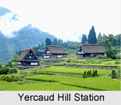
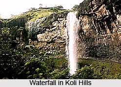
Ambikapur has the major pilgrimage tourism site called Mainpat. Manipat in the Surguja District, is a major tourist area near Ambikapur. It is also known as the "Hill station of Surguja"and the "Shimla of Chhatisgarh". Tiger Point Waterfall and a Buddha Temple,
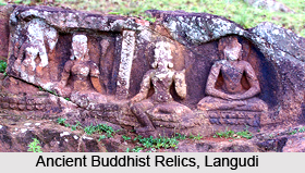
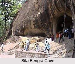
Ramgarh in Surajpur District, Kudargarh in Surajpur District (Bagheshwari Devi Temple), Bhaiyathan in Surajpur District (Patal Bhairav Mandir), Dipadih (Ancient Sculptors), Rakasganda, Sitabengara, Tattapani (hot spring) and Semarsot are the major tourism site in this hill station.

