 Datia is a city in Datia district of Madhya Pradesh. It is the administrative headquarters of Datia district. The town is 69 km. from Gwalior, 325 km. south of New Delhi and 320 km. north of Bhopal. Datia is 34 km. from Jhansi and 52 km. from Orchha. It is mentioned in the Mahabharata as Daityavakra. Datia is well connected by airways and railways. The nearest airport is at Gwalior. Datia railway station is on the Delhi Chennai main line. Datia is situated between 25.67° North latitude and 78.47° East longitude. The place is located at a height of 302 metres( 990 feet) above mean sea level.
History records that Datia owed allegiance to the Maratha Empire, which came under the British rule by the Treaty of Bassein of 1802. It was after 1947 the Maharaja of Datia entered into India and fused with the Indian Union.
According to the 2001 census report, Datia has a population of 82,742 inhabitants where males constitute 53% of the population and females constitute 47% of the population. 15% of the population is less than six years of age. The average literacy rate of the region is 68%, which is higher than the literacy rate of India, which is 59.5%. The male literacy rate is 75% while the female literacy rate is 60%.
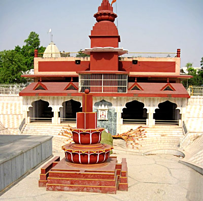
An important activity of the region is weaving and hence cotton products are found in plenty. Datia is famous for the seven-storied palace built by Raja Bir Singh Deo in 1614. A pilgrimage spot for devotees, Datia has the Siddhapeeth of Shri Peetambra Devi, Buglamukhi Devi Temple and Gopeshwar Temple. Sonagiri, a sacred Jain hill is situated about 3 km. from Datia.
