 Rivers of Telangana play the most important role in the economical and social aspects of Telangana. These rivers are Godavari River, Krishna River, Bhima River, Manjira River, Musi River, Paleru River and others.
Godavari River
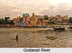
Godavari River is the second longest river in India after the Ganga River. It starts in Maharashtra and flows for 1,465 kilometers into the Bay of Bengal via the states of Telangana and Andhra Pradesh. It forms one of the largest river basins in India. This river is known as the Ganga of the South. Godavari River originates 80 kilometers from the Arabian Sea in the Western Ghats Region of Central India near Trimbakeshwar in Maharashtra. It flows for 1,465 kilometers, first eastwards across the Deccan Plateau then turns southeast, entering the West Godavari district and East Godavari district of Andhra Pradesh, until it splits into two watercourses that widen into a large river delta and flow into the Bay of Bengal.
Krishna River
Krishna River, another major river of Telangana is the third longest river in the Southern India, after the Ganga River and the Godavari River. The river is almost 1,300 kilometers long. The river is also called Krishnaveni in the local dialect of Telangana and Andhra Pradesh. It is a major source of irrigation for Maharashtra, Karnataka, Telangana, and Andhra Pradesh.
Bhima River
Bhima River plays the key role in irrigation purposes of Telangana and Andhra Pradesh. This rain fed River is a major river in southern India. It flows southeast for 861 kilometers through Maharashtra, Karnataka and Telangana before merging into the Krishna River. After the first 65 kilometers in a narrow valley through rugged terrain, the banks open up and form a fertile agricultural area which is densely populated. The River is prone to flooding due to heavy rainfall during the monsoon season.
 Manjira River
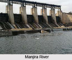
Manjira River is the tributary of Godavari River. This river is one of the important rivers in Telangana. Manjira River passes through the states of Maharashtra, Karnataka and Telangana. It originates in the Balaghat range of hills at an altitude of 823 meters and empties into the Godavari River. It has a total catchments area of 30,844 square kilometers area of land.
Musi River
Musi River is a tributary of Krishna River in the Deccan Plateau flowing through Telangana. Hyderabad stands on the banks of Musi River. It divides the historic old city with the new city. Himayat Sagar Dam and Osman Sagar Dam are the two dams built on it which used to act as source of water for Hyderabad City. Musi River was the cause of frequent flood devastation of Hyderabad until the early decades of the 20th century.
Paleru River
Paleru is a tributary of the Krishna river of South India. This river also flows through Telangana. During the Nizam rule, a reservoir was constructed on the Paleru River at Paleru town, Kusumanchi. There a hundreds of acres are irrigated with the help of this reservoir.
Other Rivers of Telangana
Other rivers of Telangana are Dhundhubhi River, Dindi River, Haridra River, Indravati River, Kadam River, Karanja River, Kinnerasani River, Maner River, Munneru River, Tungabhadra River, Wainganga River, Wyra River, Yerrakaluva River etc.


