 Chhatarpur District was known after the name of the great warrior of the region Maharaja Chhatrasa. This district was previously under the then Vindhya Pradesh. However at the time of formation of the Madhya Pradesh, it was included in Madhya Pradesh on the 1st November 1956.
Geography of Chhatarpur District
Chhatarpur district is situated at North East border of Madhya Pradesh. The District is spread over an Area of 8687 Square Kms. with longitudes and latitudes of 24.06 and 25.20 on North 78.59 - 80.26 on East respectively. The District is touched by Mohoba District (Uttar Pradesh) in the East, Tikamgarh (M.P.) in West and Sagar (M.P.) in South East.
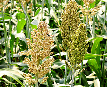
The major crops of the District are Wheat, Paddy and Jowar. Main vegetations are Jamun, Teak, Mahua, Kher and Achar. Total sown area of the District is 4, 48,078 hectares and net Irrigated Area of the region is 1, 46,217. Total forest area of the district is 659.52 Sq. Kms. The Annual Average Rainfall of the District is 1000-1200 mm. The minerals which are found in the district are Pyrophite Dysphor, Okar and Chhui Mitti.
Administration of Chhatarpur District
For Administrative convenience, Chhatarpur District has been divided into 7 Tehsils, 8 Development Blocks and 558 Gram Panchayats. Total villages in the district are 1,192 of which 116 are deserted. There are five Assembly Constituencies and one Lok Sabha Constituency.
This article is a stub. You can enrich by adding more information to it. Send your Write Up to content@indianetzone.com


