 Madikeri is a hill station developed by the sultans of medieval era and later the British East India Company.
Location of Madikeri
Madikeri is located in district headquarters of Kodagu district of Karnataka. Previously this hill station was known as "Muddurajakeri", which means Mudduraja`s town. He was prominent Haleri king.
History of Madikeri
History of Madikeri defines the civilization from 2nd to 6th century AD. The northern part and southern part was ruled by Kadamba Dynasty and Ganga Dynasty. In 11th Century AD, Ganga Dynasty was defeated by Chola Dynasty. They became the rulers of Kodagu. Later, in 12th century, the Chola Dynasty lost Kodagu to Hoysala Empire. Then Kodagu fell to the hands of Vijayanagara Empire in the 14th century. Later Haleri kings started to rule. Madikeri Fort was originally erected with mud and was replaced by Tipu Sultan with granite. Kodagu became the part of British Empire in India after 1834. Madikeri then became the hill station for the British officials.
Geography of Madikeri
Madikeri is nestled by the Western Ghats Mountain Range in India. It is located approximately at 12.42 degree north to 75.73 degree east. It rises to a height of approximately1062 meters or 3484 feet above the mean sea level. 
Demography of Madikeri
According to the population census in the year 2011, Madikeri had a population of 47,257. 57.2 percent and 42.8 percent are counted for the males and females. The average literacy rate is about 81 percent. It is higher than the national average of 57.2. The male literacy rate was 83 percent and female literacy was 79 percent. At about 11 percent of the population was under 6 years of age.
Tourism in Madikeri
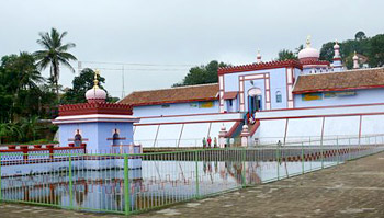
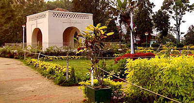
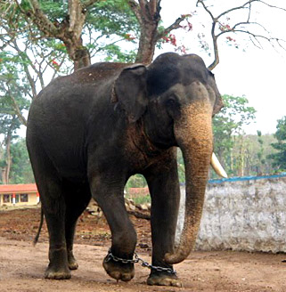
Madikeri offers one to see and cherish Mother Nature`s glory. Madikeri is dotted with exquisite locales, peaceful ambiance and many more than anyone could expect. Some of the tourism destinations of Madikeri are Raja Seat, Madikeri Fort, Omkareshwar Temple, St. Mark`s Church and Abbey Falls. Hassan, Mangalore, Bengaluru, Kodava and Talakaveri are the popular nearby attractions. Madikeri also offers trekking and elephant safari.
Visiting Information
Madikeri is connected with roadways, railways and airways. Madikeri is crossed with Karnataka State Highway 88 which passes from Mysore to Mangalore. It is located nearly 120 km from Mysore. The distance between Madikeri and Mangalore is only 136 km. From Bengaluru, one can take the State Highway 17. After Srirangapatna town, it turns round and joins with State Highway 88 towards Madikeri. From Bengaluru, Madikeri stretches to a distance of nearly 252 km. There is no railway station in Madikeri. The trains are available from Hassan, Kasaragod, Cannanore and Tellicherry. The places like Mysore and Mangalore have their own railway stations. There is no airport in Madikeri. The nearest airports are Mangalore and Calicut, which are 136 km and 180 km away respectively.


