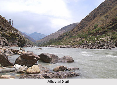
 Alluvial soil is formed by accumulated sediments transferred by the rivers and rapids, thus, it is amongst the most fertile soils. It is a fine-grained fertile soil deposited in river beds or by water flowing over flood plains. They generally lack humus and nitrogen. Alluvial soil is composed of alluvium deposits by the rivers, when they slowly lose their carrying capacity due to decrease in velocity. While slowing down, a river loses its potential to hold the large soil particles in a suspended state and these particles thus settle down on the riverbed. Further slowing down in the speed of the river enables smaller particles in the water to settle. Thus, the river with its slow pace holds only highly fine particles in suspension and these fine particles are lastly deposited at the river`s mouth, where they form the Deltas comprising finely grained soil.
Alluvial soils are scattered throughout the country and is the most widespread category. These soils cover 40% of the entire land area in India. This soil covers an area of 15 lakh sq km in India and mainly contributes in the development of agriculture. They form around the lower courses of most rivers around the country and particularly all over the Indo-Gangetic Plain. The entire Northern Plains consists of Alluvial soils. These soils are also extended into the plains of Gujarat and are also found in the eastern coastal plains as well.
Types of Alluvial Soil
Two types of alluvium are generally found throughout the Indo-Gangetic plain, namely Khadar, consistent in texture and rather fertile, and Bhangar, which consists of alkaline.
Alluvial soil is the most crucial and pervasive kind of soil found in India. It covers forty per cent of the total land area. In fact the complete Northern Plains are made up of these soils. They have been brought down and deposited by three enormous Himalayan rivers, Sutlej River, Ganga River and Brahmaputra River, and their tributaries. Through a tapered outlet in the state of Rajasthan, they continue into the plains of Gujarat. They are common in the eastern coastal plains and also in the deltas of Mahanadi River, Godavari River, Krishna River and Kaveri River.
The river deposits extremely refined particles of soil, called alluvium in their plains during the path of their long travail, spread over hundreds of kilometres and thousands of years. These soils consist of diverse ratios of clay, sand and silt. They are prevalent in the coastal plains and deltas. Further inland in the river valleys, the soil particles appear heavier in size. In the upper reaches of the river valleys, i.e. near the place of their origin, the soils are coarser. Soil particles are larger and a long way from being smooth. Such soils are more familiar in piedmont plains, i.e. those that are near the foot of mountains.
Features of Alluvial Soil
Apart from the size of their grains or particles, alluvial soils are distinguished according to their age also. They are grouped in old alluvium and new alluvium types. The so called new alluvium may be even ten thousand years old. Locally, the old alluvium is called `Bhangar`, and the new alluvium is called `Khadar`. The old alluvium often contains Kankar nodules, with calcium carbonates in sub-soil. The new alluvium is richer compared to the old. Alluvial soils all together are exceptionally prolific. In general, they carry ample potash, lime and phosphoric acid. However, they are lacking in nitrogenous and organic substance. Alluvial soils in the drier areas of India are more alkaline in nature. Alluvial soils sustain over half the Indian population.
Alluvial soil is found mostly in the plains, like Assam, Gujarat, Madhya Pradesh, Punjab, Orissa and Tamil Nadu. Alluvial soil is predominant in the valleys of Narmada, along Mahanadi, Tapti, Cauvery and Godawari etc.


